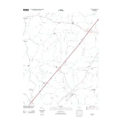
2013 Map of Niota
USGS Topo · Published 2013About this map
Niota sits as the central hub of this East Tennessee landscape, where the local terrain is defined by the prominent Niota Ridge and a network of small watercourses like Little N Mouse Cr and Sweetwater Cr. The settlement pattern reflects a mix of traditional agricultural crossroads and modern aviation, with the rural communities of Union Grove and Pine Grove appearing alongside specialized landing strips like West Wind Airpark and Cub Haven Airport.
Find a feature on this map
145 named features on this map. Tap any name to fly to it.
Don’t see what you’re looking for? This feature index may not catch every label — zoom into the map to look around manually.
Map Details
Editions of this 2013 Niota Map
This is the sole edition of this map. No revisions or reprints were ever made.
Other maps of this area

1886 · Cleveland
USGS Topo · 1:125,000

1887 · Kingston
USGS Topo · 1:125,000

1891 · Kingston
USGS Topo · 1:125,000

1892 · Cleveland
USGS Topo · 1:125,000

1893 · Murphy
USGS Topo · 1:125,000

1893 · Kingston
USGS Topo · 1:125,000

1895 · Cleveland
USGS Topo · 1:125,000

1895 · Loudon
USGS Topo · 1:125,000

1901 · Cleveland
USGS Topo · 1:125,000

1914 · Murphy
USGS Topo · 1:125,000