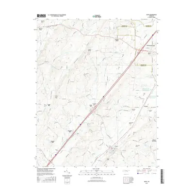
2016 Map of Niota
USGS Topo · Published 2016About this map
Niota and the surrounding Sweetwater Valley define this landscape along the border of McMinn, Loudon, and Monroe Counties. This modern survey illustrates a rural environment shaped by agriculture and light aviation, featuring both the West Wind Airpark and Cub Haven Airport nestled among the drainage basins of the N Mouse Cr and Sweetwater Cr. The settlement pattern retains its early industrial roots with landmarks like Acme Mill and Barton Mill, while the social fabric is marked by numerous family and community burial grounds, such as Taylor Cem and Beulah Chapel Cem. Water management is prominent through features like Sweetwater Creek Watershed Number Sixteen Reservoir and several named springs including Denton Spring and Lathan Spring. The map documents a transition from old country crossroads at Murray Store and Riddles Store to the modern transportation corridors that now bisect the ridges.
Find a feature on this map
166 named features on this map. Tap any name to fly to it.
Don’t see what you’re looking for? This feature index may not catch every label — zoom into the map to look around manually.
Map Details
Editions of this 2016 Niota Map
This is the sole edition of this map. No revisions or reprints were ever made.
Other maps of this area

1886 · Cleveland
USGS Topo · 1:125,000

1887 · Kingston
USGS Topo · 1:125,000

1891 · Kingston
USGS Topo · 1:125,000

1892 · Cleveland
USGS Topo · 1:125,000

1893 · Murphy
USGS Topo · 1:125,000

1893 · Kingston
USGS Topo · 1:125,000

1895 · Cleveland
USGS Topo · 1:125,000

1895 · Loudon
USGS Topo · 1:125,000

1901 · Cleveland
USGS Topo · 1:125,000

1914 · Murphy
USGS Topo · 1:125,000