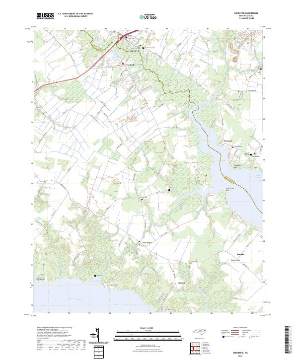
2022 Map of Nixonton
USGS Topo · Published 2022About this map
Woodville and Nixonton anchor this landscape along the border of Pasquotank and Perquimans counties. The geography is defined by the winding course of the Little River as it empties into the Perquimans River and Dance Bay. This coastal plain environment is characterized by numerous creeks like Muddy Creek and Halls Creek, which carve through the low-lying terrain near Durants Neck.
Find a feature on this map
107 named features on this map. Tap any name to fly to it.
Don’t see what you’re looking for? This feature index may not catch every label — zoom into the map to look around manually.
Map Details
Editions of this 2022 Nixonton Map
This is the sole edition of this map. No revisions or reprints were ever made.
Other maps of this area

1906 · Hertford
USGS Topo · 1:62,500

1940 · Hertford
USGS Topo · 1:62,500

1940 · Wade Point
USGS Topo · 1:62,500

1940 · South Mills
USGS Topo · 1:62,500

1943 · Wade Point
USGS Topo · 1:62,500

1948 · Wade Point
USGS Topo · 1:62,500

1948 · Elizabeth City
USGS Topo · 1:62,500

1952 · South Mills
USGS Topo · 1:62,500

1953 · Norfolk
USGS Topo · 1:250,000

1982 · Nixonton
USGS Topo · 1:24,000