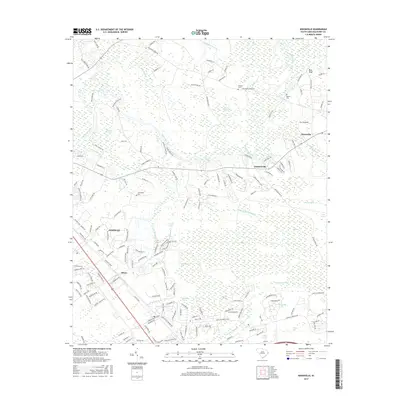
2017 Map of Nixonville
USGS Topo · Published 2017About this map
The Waccamaw River carves a winding path through the heart of Horry County, defining a landscape where wetlands and upland settlements meet. This 2017 study illustrates the dense network of Carolina bays and swamps, such as Cottonpatch Bay, Big Bay, and the expansive Socastee Swamp, which have historically shaped the drainage and land-use patterns of the region. The geography transitions from the river bottomlands up to higher ground at Bear Bluff, where early transport routes like Old Reaves Ferry Rd once facilitated movement across the water.
Find a feature on this map
172 named features on this map. Tap any name to fly to it.
Don’t see what you’re looking for? This feature index may not catch every label — zoom into the map to look around manually.
Map Details
Editions of this 2017 Nixonville Map
This is the sole edition of this map. No revisions or reprints were ever made.
Other maps of this area

1937 · Myrtle Beach
USGS Topo · 1:48,000

1937 · Nixonville
USGS Topo · 1:48,000

1940 · Myrtle Beach
USGS Topo · 1:62,500

1942 · Nixonville
USGS Topo · 1:62,500

1943 · Bucksville
USGS Topo · 1:24,000

1943 · Adrian
USGS Topo · 1:24,000

1943 · Conway
USGS Topo · 1:24,000

1944 · Adrian
USGS Topo · 1:31,680

1949 · Georgetown
USGS Topo · 1:250,000

1967 · Georgetown
USGS Topo · 1:250,000