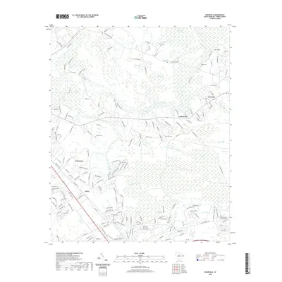
2020 Map of Nixonville
USGS Topo · Published 2020About this map
The Waccamaw River winds through this coastal South Carolina landscape, defining a region where dense swamp systems and traditional settlements meet modern expansion. The map details the transition from the historic riverside bluffs at Bear Bluff to the established neighborhoods of Conway. Local history is anchored by family burial grounds, including Graham Cem, Reaves Cem, and Thompkins Cem, which sit alongside early crossroads like Nixonville and Grahamville. The area is characterized by unique elliptical depressions known as bays, such as Tuckahoe Bay, Michael Hole Bay, and Cottonpatch Bay, which pockmark the terrain between larger drainage systems like Beaverdam Swamp and Big Swamp. The settlement at Jaluco and the various branches of Steritt Swamp further illustrate the intricate water-dependent geography of Horry County.
Find a feature on this map
184 named features on this map. Tap any name to fly to it.
Don’t see what you’re looking for? This feature index may not catch every label — zoom into the map to look around manually.
Map Details
Editions of this 2020 Nixonville Map
This is the sole edition of this map. No revisions or reprints were ever made.
Other maps of this area

1937 · Myrtle Beach
USGS Topo · 1:48,000

1937 · Nixonville
USGS Topo · 1:48,000

1940 · Myrtle Beach
USGS Topo · 1:62,500

1942 · Nixonville
USGS Topo · 1:62,500

1943 · Bucksville
USGS Topo · 1:24,000

1943 · Adrian
USGS Topo · 1:24,000

1943 · Conway
USGS Topo · 1:24,000

1944 · Adrian
USGS Topo · 1:31,680

1949 · Georgetown
USGS Topo · 1:250,000

1967 · Georgetown
USGS Topo · 1:250,000