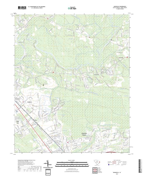
2024 Map of Nixonville
USGS Topo · Published 2024About this map
Waccamaw River navigation and the expansive wetlands of northeastern South Carolina define the landscape of this 2024 survey. The topography is marked by a series of oval-shaped depressions typical of the region, including Tuckahoe Bay, Cane Bay, and Cottonpatch Bay. These natural features are interspersed with long-established river access points like Hardees Ferry and Bear Bluff, which historically connected the interior settlements to the coastal transport networks.
Find a feature on this map
207 named features on this map. Tap any name to fly to it.
Don’t see what you’re looking for? This feature index may not catch every label — zoom into the map to look around manually.
Map Details
Editions of this 2024 Nixonville Map
This is the sole edition of this map. No revisions or reprints were ever made.
Other maps of this area

1937 · Myrtle Beach
USGS Topo · 1:48,000

1937 · Nixonville
USGS Topo · 1:48,000

1940 · Myrtle Beach
USGS Topo · 1:62,500

1942 · Nixonville
USGS Topo · 1:62,500

1943 · Bucksville
USGS Topo · 1:24,000

1943 · Adrian
USGS Topo · 1:24,000

1943 · Conway
USGS Topo · 1:24,000

1944 · Adrian
USGS Topo · 1:31,680

1949 · Georgetown
USGS Topo · 1:250,000

1967 · Georgetown
USGS Topo · 1:250,000