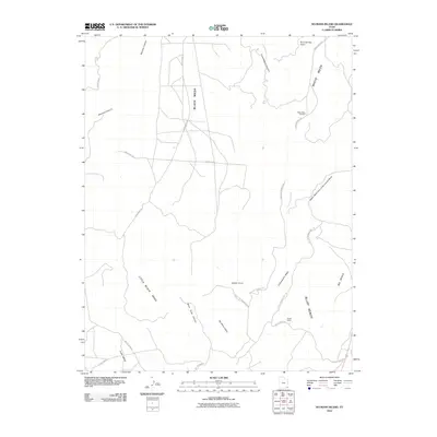
2010 Map of No-Mans Island
USGS Topo · Published 2010About this map
Black Mesa and White Mesa dominate this high-desert landscape in San Juan County, illustrating the dramatic geological relief typical of the Colorado Plateau. This 2010 topographic record highlights the isolated No-Mans Island and the expansive Bluff Bench, areas defined by their limited accessibility and significant vertical drops. The map documents a sparse human imprint, primarily represented by cattle-ranching infrastructure such as the Decker Ranch and a network of unpaved access routes like South Cottonwood Rd and Butler Wash Rd.
Find a feature on this map
27 named features on this map. Tap any name to fly to it.
Don’t see what you’re looking for? This feature index may not catch every label — zoom into the map to look around manually.
Map Details
Editions of this 2010 No-Mans Island Map
This is the sole edition of this map. No revisions or reprints were ever made.
Other maps of this area
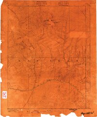
1886 · Abajo
USGS Topo · 1:250,000
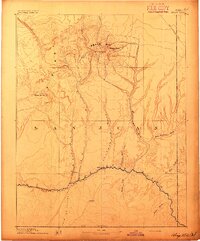
1892 · Abajo
USGS Topo · 1:250,000
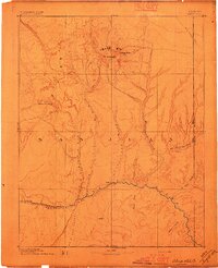
1893 · Abajo
USGS Topo · 1:250,000
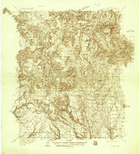
1935 · Elk Ridge
USGS Topo · 1:96,000
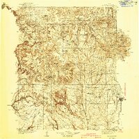
1940 · Elk Ridge
USGS Topo · 1:125,000
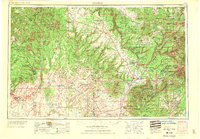
1956 · Cortez
USGS Topo · 1:250,000
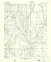
1957 · Elk Ridge 4 SE
USGS Topo · 1:24,000
1957 · Brushy Basin Wash
USGS Topo · 1:62,500
1957 · Blanding
USGS Topo · 1:62,500
1958 · Cortez
USGS Topo · 1:250,000