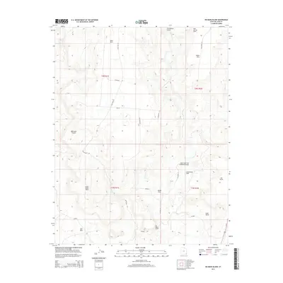
2014 Map of No-Mans Island
USGS Topo · Published 2014About this map
No-Mans Island and the surrounding high desert terrain define this corner of San Juan County, where high plateaus and deep drainages dictate the local movement. The landscape is characterized by a series of prominent mesas, including White Mesa, Black Mesa, and Little Black Mesa, which rise above the intricate network of canyons and washes. Water drainage is dominated by the Cottonwood Wash and its tributary, the Right Hand Fork Cottonwood Wash, while named points like Ruin Spring Point suggest the deep human history tied to these rare water sources. A sparse network of unpaved tracks, such as Army Rd and Black Mesa Rd, provide the only access through the broken topography of Decker Cove and Black Rock Canyon. Near the southeastern corner, the land levels out slightly onto the Bluff Bench and Big Bench before dropping toward the regional corridor of Us-191.
Find a feature on this map
28 named features on this map. Tap any name to fly to it.
Don’t see what you’re looking for? This feature index may not catch every label — zoom into the map to look around manually.
Map Details
Editions of this 2014 No-Mans Island Map
This is the sole edition of this map. No revisions or reprints were ever made.
Other maps of this area
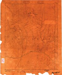
1886 · Abajo
USGS Topo · 1:250,000
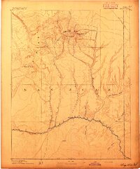
1892 · Abajo
USGS Topo · 1:250,000
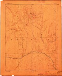
1893 · Abajo
USGS Topo · 1:250,000
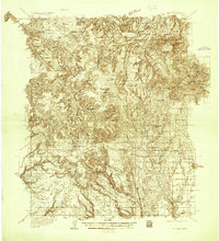
1935 · Elk Ridge
USGS Topo · 1:96,000
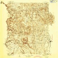
1940 · Elk Ridge
USGS Topo · 1:125,000
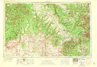
1956 · Cortez
USGS Topo · 1:250,000
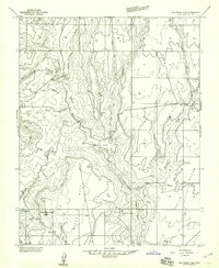
1957 · Elk Ridge 4 SE
USGS Topo · 1:24,000
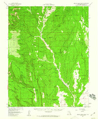
1957 · Brushy Basin Wash
USGS Topo · 1:62,500
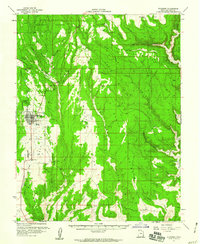
1957 · Blanding
USGS Topo · 1:62,500
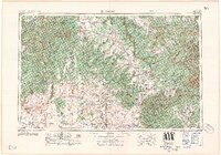
1958 · Cortez
USGS Topo · 1:250,000