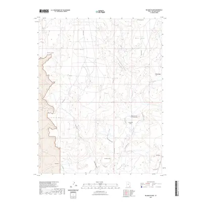
2023 Map of No-Mans Island
USGS Topo · Published 2023About this map
No-Mans Island is the center of a complex landscape defined by shifting elevations and deep drainages in San Juan County. The terrain transitions between high, broad mesas such as Black Mesa and White Mesa to the intricate network of canyons and washes that carve through the desert floor. Cottonwood Creek and its associated Cottonwood Wash system provide the primary hydrologic structure, while more isolated formations like Tank Mesa and Little Black Mesa rise prominently above the surrounding flats.
Find a feature on this map
24 named features on this map. Tap any name to fly to it.
Don’t see what you’re looking for? This feature index may not catch every label — zoom into the map to look around manually.
Map Details
Editions of this 2023 No-Mans Island Map
This is the sole edition of this map. No revisions or reprints were ever made.
Other maps of this area

1886 · Abajo
USGS Topo · 1:250,000

1892 · Abajo
USGS Topo · 1:250,000

1893 · Abajo
USGS Topo · 1:250,000

1935 · Elk Ridge
USGS Topo · 1:96,000

1940 · Elk Ridge
USGS Topo · 1:125,000

1956 · Cortez
USGS Topo · 1:250,000

1957 · Elk Ridge 4 SE
USGS Topo · 1:24,000

1957 · Brushy Basin Wash
USGS Topo · 1:62,500

1957 · Blanding
USGS Topo · 1:62,500

1958 · Cortez
USGS Topo · 1:250,000