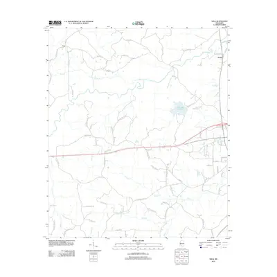
2012 Map of Nola
USGS Topo · Published 2012About this map
Fair River and its various tributaries define the rural landscape of this Lawrence County territory in 2012. The settlement of Nola occupies the northwestern corner, connected by a network of family-named roads such as Sontag Nola Rd and Tom Evans Rd. In the eastern portion, the Rosella area is marked by its proximity to Lake Mary Crawford, a significant water feature in a region dominated by winding creeks like Bear Cr and Marshall Cr.
Find a feature on this map
75 named features on this map. Tap any name to fly to it.
Don’t see what you’re looking for? This feature index may not catch every label — zoom into the map to look around manually.
Map Details
Editions of this 2012 Nola Map
This is the sole edition of this map. No revisions or reprints were ever made.
Other maps of this area

1953 · Natchez
USGS Topo · 1:250,000

1956 · Natchez
USGS Topo · 1:250,000

1959 · Natchez
USGS Topo · 1:250,000

1970 · Topeka
USGS Topo · 1:24,000

1970 · Monticello
USGS Topo · 1:24,000

1970 · Nola
USGS Topo · 1:24,000
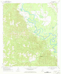
1970 · Tilton
USGS Topo · 1:24,000
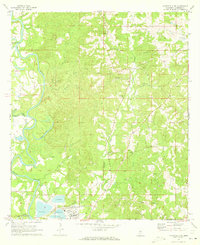
1971 · Monticello NE
USGS Topo · 1:24,000

1971 · Oma
USGS Topo · 1:24,000

1972 · Fair Oak Springs
USGS Topo · 1:24,000