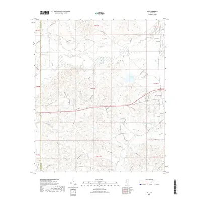
2018 Map of Nola
USGS Topo · Published 2018About this map
Monticello marks the eastern edge of this modern survey, where the landscape begins to slope toward the Pearl River basin. The western portions of Lawrence County are defined by a complex drainage network, primarily the Fair River and its various tributaries like Bear Cr and Posh Cr. Central to this geography is Lake Mary Crawford, providing a significant recreational and hydrological focus for the area between the smaller settlements of Nola and Rosella.
Find a feature on this map
81 named features on this map. Tap any name to fly to it.
Don’t see what you’re looking for? This feature index may not catch every label — zoom into the map to look around manually.
Map Details
Editions of this 2018 Nola Map
This is the sole edition of this map. No revisions or reprints were ever made.
Other maps of this area
1953 · Natchez
USGS Topo · 1:250,000
1956 · Natchez
USGS Topo · 1:250,000
1959 · Natchez
USGS Topo · 1:250,000
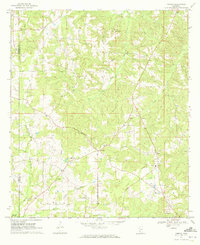
1970 · Topeka
USGS Topo · 1:24,000
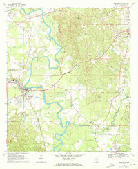
1970 · Monticello
USGS Topo · 1:24,000
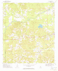
1970 · Nola
USGS Topo · 1:24,000
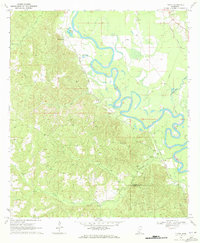
1970 · Tilton
USGS Topo · 1:24,000
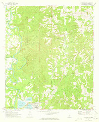
1971 · Monticello NE
USGS Topo · 1:24,000
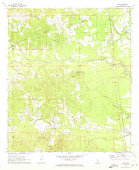
1971 · Oma
USGS Topo · 1:24,000
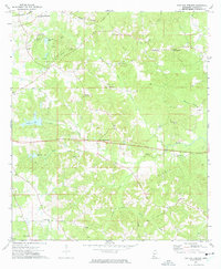
1972 · Fair Oak Springs
USGS Topo · 1:24,000