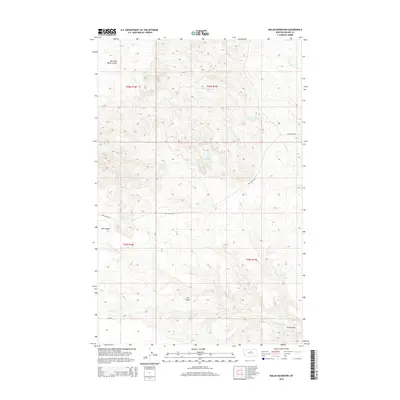
2014 Map of Nolan Reservoir
USGS Topo · Published 2014About this map
Nolan Reservoir and its surrounding drainage systems define this high-plains landscape in Blaine County. The terrain is deeply incised by a network of seasonal watercourses and coulees, including Christensen Br and the rugged East Fork Black Coulee. These features represent the drainage patterns essential to the region's ranching and water management history. Prominent landmarks such as Lion Butte rise above the drainage basins of Lion Coulee and N Fork Lion Coulee, providing clear navigational markers for those traversing the open country. The presence of Bear Paw Springs suggests localized groundwater sources that have historically supported wildlife and livestock. The map also traces Cow Island Rd, a significant route through the undulating terrain, and identifies areas like Coal Mine Coulee that hint at the local geology and past resource extraction efforts in this part of Montana.
Find a feature on this map
14 named features on this map. Tap any name to fly to it.
Don’t see what you’re looking for? This feature index may not catch every label — zoom into the map to look around manually.
Map Details
Editions of this 2014 Nolan Reservoir Map
This is the sole edition of this map. No revisions or reprints were ever made.
Other maps of this area

1953 · Havre
USGS Topo · 1:250,000
1954 · Bird Rapids
USGS Topo · 1:24,000
1954 · Leroy
USGS Topo · 1:24,000

1954 · Lewistown
USGS Topo · 1:250,000
1956 · Maddux
USGS Topo · 1:62,500
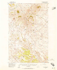
1956 · Rattlesnake
USGS Topo · 1:62,500

1957 · Havre
USGS Topo · 1:250,000

1958 · Havre
USGS Topo · 1:250,000

1959 · Lewistown
USGS Topo · 1:250,000
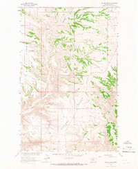
1964 · Ragland Bench
USGS Topo · 1:24,000