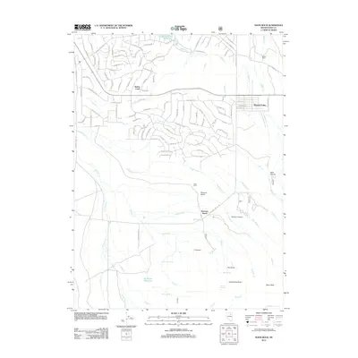
2012 Map of Noon Rock
USGS Topo · Published 2012About this map
Spring Creek dominates the northern reaches of this Elko County landscape, showcasing a dense residential street network that contrasts sharply with the open rangeland to the south. The suburban expansion of this planned community is evident in the detailed grid of roads like Spring Creek Pkwy and Country Club Pkwy, all situated near the Spring Creek Reservoir.
Find a feature on this map
112 named features on this map. Tap any name to fly to it.
Don’t see what you’re looking for? This feature index may not catch every label — zoom into the map to look around manually.
Map Details
Editions of this 2012 Noon Rock Map
This is the sole edition of this map. No revisions or reprints were ever made.
Other maps of this area
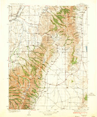
1935 · Halleck
USGS Topo · 1:125,000
1955 · Elko
USGS Topo · 1:250,000
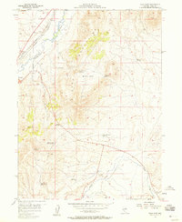
1957 · Elko East
USGS Topo · 1:24,000
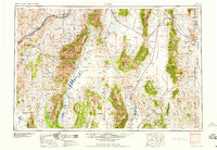
1958 · Elko
USGS Topo · 1:250,000
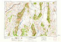
1962 · Elko
USGS Topo · 1:250,000
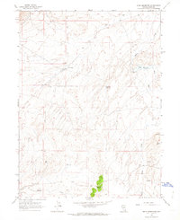
1962 · Boyd Reservoir
USGS Topo · 1:24,000
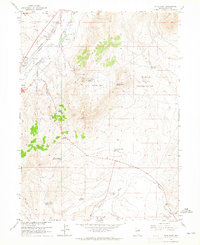
1962 · Elko East
USGS Topo · 1:24,000
1962 · Lee
USGS Topo · 1:62,500
1962 · Lamoille
USGS Topo · 1:62,500
1965 · Elko
USGS Topo · 1:250,000