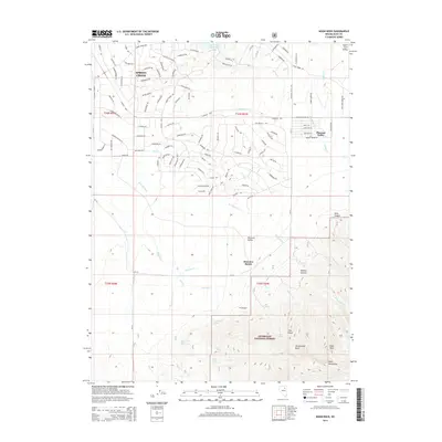
2014 Map of Noon Rock
USGS Topo · Published 2014About this map
Spring Creek anchors the northern portion of this Nevada landscape, showing a dense network of suburban streets and residential development as it appeared in the early 21st century. The map illustrates a striking transition from the structured blocks and cul-de-sacs of the town to the open rangeland and canyons of the Ruby Mountains to the south. Central to the area's agricultural history is the Brennen Ranch, located just north of the Humboldt National Forest boundary, where several creeks such as Brennen Cr and Peterson Cr descend from the high peaks.
Find a feature on this map
158 named features on this map. Tap any name to fly to it.
Don’t see what you’re looking for? This feature index may not catch every label — zoom into the map to look around manually.
Map Details
Editions of this 2014 Noon Rock Map
This is the sole edition of this map. No revisions or reprints were ever made.
Other maps of this area
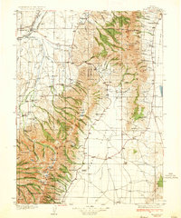
1935 · Halleck
USGS Topo · 1:125,000
1955 · Elko
USGS Topo · 1:250,000
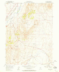
1957 · Elko East
USGS Topo · 1:24,000
1958 · Elko
USGS Topo · 1:250,000
1962 · Elko
USGS Topo · 1:250,000
1962 · Boyd Reservoir
USGS Topo · 1:24,000
1962 · Elko East
USGS Topo · 1:24,000
1962 · Lee
USGS Topo · 1:62,500
1962 · Lamoille
USGS Topo · 1:62,500
1965 · Elko
USGS Topo · 1:250,000