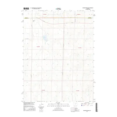
2016 Map of Noonen Reservoir
USGS Topo · Published 2016About this map
Muddy Cr winds through the high plains of Eastern Colorado, anchoring a landscape defined by ranching infrastructure and section-line roads. The central feature, Noonen Reservoir Number 2, represents the critical water management systems essential to agriculture in this arid region. The terrain is marked by seasonal drainages like Bouldin Gulch and the headwaters of Badger Cr and First Cr. While much of the land remains open, the grid of secondary roads such as Monnahan Hill Rd and Serena Rd indicates the steady encroachment of rural residential development near the boundary of Adams and Arapahoe counties.
Find a feature on this map
22 named features on this map. Tap any name to fly to it.
Don’t see what you’re looking for? This feature index may not catch every label — zoom into the map to look around manually.
Map Details
Editions of this 2016 Noonen Reservoir Map
This is the sole edition of this map. No revisions or reprints were ever made.
Other maps of this area
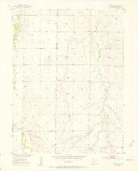
1951 · Leader SE
USGS Topo · 1:24,000
1953 · Denver
USGS Topo · 1:250,000

1954 · Limon
USGS Topo · 1:250,000
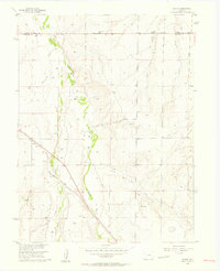
1956 · Peoria
USGS Topo · 1:24,000
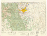
1957 · Denver
USGS Topo · 1:250,000

1957 · Limon
USGS Topo · 1:250,000

1958 · Limon
USGS Topo · 1:250,000
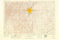
1958 · Denver
USGS Topo · 1:250,000
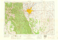
1960 · Denver
USGS Topo · 1:250,000
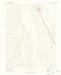
1968 · Deer Trail
USGS Topo · 1:24,000