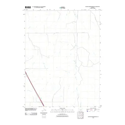
2010 Map of Noonen Reservoir SW
USGS Topo · Published 2010About this map
East Bijou Creek carves a diagonal path through this portion of the Colorado plains, marking a landscape defined by its seasonal drainage patterns and rural infrastructure. The terrain is characterized by the steady flow of First Creek and Muddy Creek, which thread through the open country. A grid of local thoroughfares such as E County Rd-34 and County Rd-42 provides the primary framework for the area, illustrating the organized land division typical of the region's agricultural and ranching heritage.
Find a feature on this map
13 named features on this map. Tap any name to fly to it.
Don’t see what you’re looking for? This feature index may not catch every label — zoom into the map to look around manually.
Map Details
Editions of this 2010 Noonen Reservoir SW Map
This is the sole edition of this map. No revisions or reprints were ever made.
Other maps of this area

1891 · Limon
USGS Topo · 1:125,000

1892 · Limon
USGS Topo · 1:125,000

1953 · Denver
USGS Topo · 1:250,000

1954 · Limon
USGS Topo · 1:250,000

1956 · Peoria
USGS Topo · 1:24,000

1957 · Denver
USGS Topo · 1:250,000

1957 · Limon
USGS Topo · 1:250,000

1958 · Limon
USGS Topo · 1:250,000

1958 · Denver
USGS Topo · 1:250,000

1960 · Denver
USGS Topo · 1:250,000