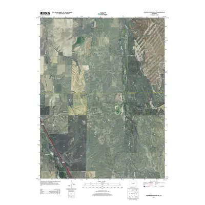
2013 Map of Noonen Reservoir SW
USGS Topo · Published 2013About this map
The high plains of the Arapahoe Co Elbert Co border are defined by a rhythmic drainage pattern of seasonal creeks and a grid of rural county roads. Waterways like First Cr and Muddy Cr carve north-trending valleys through the terrain, while the southwest corner is marked by the presence of E Bijou Cr. This landscape is fundamentally shaped by the Public Land Survey System, with the map clearly delineating the boundaries of T005S R059W and neighboring townships. These surveyed sections dictate the placement of local infrastructure, including north-south corridors like S Monnahan RD and various east-west routes such as CO Road 42. The area reflects a contemporary era of agricultural land use and rural connectivity, where the surveyor's grid remains the primary organizing principle across the rolling divide between the larger river basins to the east and west.
Find a feature on this map
14 named features on this map. Tap any name to fly to it.
Don’t see what you’re looking for? This feature index may not catch every label — zoom into the map to look around manually.
Map Details
Editions of this 2013 Noonen Reservoir SW Map
This is the sole edition of this map. No revisions or reprints were ever made.
Other maps of this area
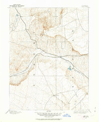
1891 · Limon
USGS Topo · 1:125,000
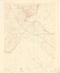
1892 · Limon
USGS Topo · 1:125,000
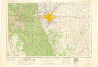
1953 · Denver
USGS Topo · 1:250,000

1954 · Limon
USGS Topo · 1:250,000
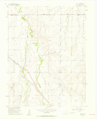
1956 · Peoria
USGS Topo · 1:24,000
1957 · Denver
USGS Topo · 1:250,000

1957 · Limon
USGS Topo · 1:250,000

1958 · Limon
USGS Topo · 1:250,000
1958 · Denver
USGS Topo · 1:250,000
1960 · Denver
USGS Topo · 1:250,000