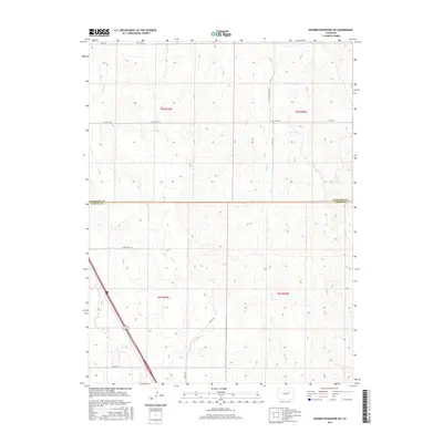
2016 Map of Noonen Reservoir SW
USGS Topo · Published 2016About this map
Muddy Cr and First Cr define the drainages of this section of the High Plains, where the border of Arapahoe and Elbert counties meets. The landscape is characterized by a sparse, rhythmic grid of rural roads and section lines that navigate the undulating terrain. To the southwest, E Bijou Cr cuts through the territory, shadowed by a primary thoroughfare. The distribution of secondary routes like Jolly Rd, Wall Rd, and East Wall Rd reflects the enduring agricultural and ranching layout of the region. This 2016 survey by the U.S. Geological Survey provides a precise record of the land use patterns and hydrologic features before further suburban expansion could reach this interior portion of the Colorado plains.
Find a feature on this map
16 named features on this map. Tap any name to fly to it.
Don’t see what you’re looking for? This feature index may not catch every label — zoom into the map to look around manually.
Map Details
Editions of this 2016 Noonen Reservoir SW Map
This is the sole edition of this map. No revisions or reprints were ever made.
Other maps of this area
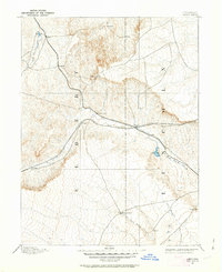
1891 · Limon
USGS Topo · 1:125,000
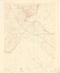
1892 · Limon
USGS Topo · 1:125,000
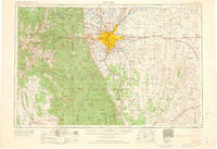
1953 · Denver
USGS Topo · 1:250,000

1954 · Limon
USGS Topo · 1:250,000
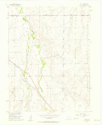
1956 · Peoria
USGS Topo · 1:24,000
1957 · Denver
USGS Topo · 1:250,000

1957 · Limon
USGS Topo · 1:250,000

1958 · Limon
USGS Topo · 1:250,000
1958 · Denver
USGS Topo · 1:250,000
1960 · Denver
USGS Topo · 1:250,000