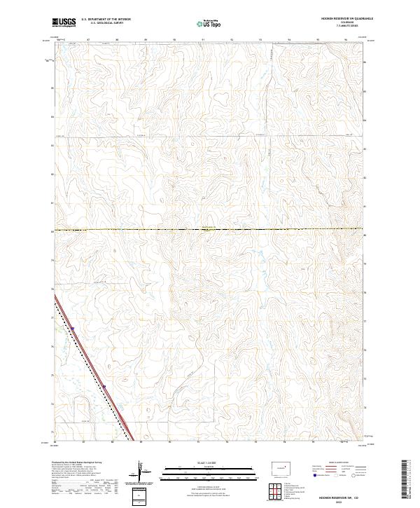
2022 Map of Noonen Reservoir SW
USGS Topo · Published 2022About this map
The high plains landscape where the Arapahoe Co Elbert Co line divides the terrain is defined by a dendritic network of intermittent watercourses. In this 2022 survey, the drainage of E Bijou Cr and its tributaries, First Cr and Muddy Cr, carve subtle relief into the shortgrass prairie. The human imprint on the land is primarily expressed through a strict section-line road grid, including Jolly Rd and E Wall Rd, reflecting the enduring legacy of the Public Land Survey System. These corridors, such as Co Rd 34 and Co Rd 178, serve as the primary conduits through an area dominated by large-scale agricultural and ranching operations characteristic of the Colorado interior.
Find a feature on this map
16 named features on this map. Tap any name to fly to it.
Don’t see what you’re looking for? This feature index may not catch every label — zoom into the map to look around manually.
Map Details
Editions of this 2022 Noonen Reservoir SW Map
This is the sole edition of this map. No revisions or reprints were ever made.
Other maps of this area

1891 · Limon
USGS Topo · 1:125,000

1892 · Limon
USGS Topo · 1:125,000

1953 · Denver
USGS Topo · 1:250,000

1954 · Limon
USGS Topo · 1:250,000

1956 · Peoria
USGS Topo · 1:24,000

1957 · Denver
USGS Topo · 1:250,000

1957 · Limon
USGS Topo · 1:250,000

1958 · Limon
USGS Topo · 1:250,000

1958 · Denver
USGS Topo · 1:250,000

1960 · Denver
USGS Topo · 1:250,000