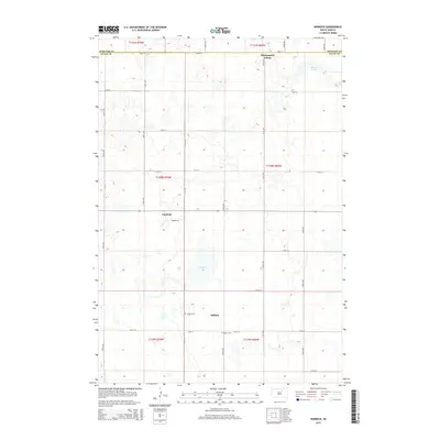
2015 Map of Norbeck
USGS Topo · Published 2015About this map
Blumengard Colony and the small settlements of Norbeck and Millard anchor this portion of the northern plains along the border of Edmunds and Faulk counties. The landscape is defined by the Public Land Survey System's rigid grid, where gravel roads like 148th St and 349th Ave intersect at mile intervals, carving the prairie into distinct sections. Evidence of early communal and family life remains visible through the presence of Millard Cem and Myron Cem, which serve as vital touchstones for genealogical research in this rural corridor. Water features are sparse but significant in this environment, with Dry Lake and Hamak Lake providing the primary breaks in the agricultural layout. The map reflects a modern era of South Dakota land use where small clusters of habitation persist within a vast network of section lines and townships.
Find a feature on this map
30 named features on this map. Tap any name to fly to it.
Don’t see what you’re looking for? This feature index may not catch every label — zoom into the map to look around manually.
Map Details
Editions of this 2015 Norbeck Map
This is the sole edition of this map. No revisions or reprints were ever made.
Other maps of this area
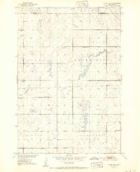
1951 · Clark Lake
USGS Topo · 1:24,000
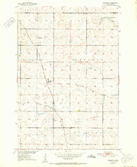
1952 · Norbeck
USGS Topo · 1:24,000
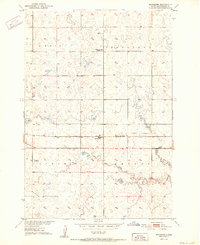
1952 · Burkmere
USGS Topo · 1:24,000
1952 · Wecota
USGS Topo · 1:24,000
1952 · Faulkton West
USGS Topo · 1:24,000
1952 · Faulkton East
USGS Topo · 1:24,000
1954 · Aberdeen
USGS Topo · 1:250,000
1956 · Aberdeen
USGS Topo · 1:250,000
1974 · Ipswich SE
USGS Topo · 1:24,000
1978 · Loyalton
USGS Topo · 1:24,000