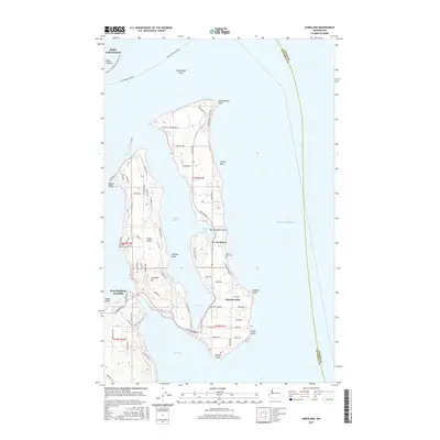
2017 Map of Nordland
USGS Topo · Published 2017About this map
Marrowstone Island and Indian Island dominate this coastal survey of the eastern Olympic Peninsula's waterfront. The village of Nordland serves as a central point on the narrow neck of Marrowstone, where Mystery Bay nearly meets the waters of Kilisut Harbor. This area is defined by its deep maritime connections, from the Port Townsend Ferry routes crossing Port Townsend bay to the numerous points and banks that define the shoreline, such as Nodule Point and Midchannel Bank.
Find a feature on this map
79 named features on this map. Tap any name to fly to it.
Don’t see what you’re looking for? This feature index may not catch every label — zoom into the map to look around manually.
Map Details
Editions of this 2017 Nordland Map
This is the sole edition of this map. No revisions or reprints were ever made.
Other maps of this area

1937 · Port Gamble
USGS Topo · 1:62,500

1939 · Port Townsend
USGS Topo · 1:62,500

1939 · Coupeville
USGS Topo · 1:62,500

1940 · Port Gamble
USGS Topo · 1:62,500

1940 · Quilcene
USGS Topo · 1:62,500

1953 · Hansville
USGS Topo · 1:24,000

1953 · Coupeville
USGS Topo · 1:24,000

1953 · Freeland
USGS Topo · 1:24,000

1953 · Nordland
USGS Topo · 1:24,000

1953 · Center
USGS Topo · 1:24,000