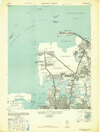
1948 Map of Norfolk North
USGS Topo · Published 1948About this map
Hampton Roads and the northern reaches of Norfolk are captured here just after the war, showing a landscape deeply integrated with military and maritime operations. The extensive US Naval Reservation and US Army Base dominate the western waterfront, where numerous docks and tidal markers indicate a high level of activity at Sewall Pt and Tanner Pt. This period reflects the rapid residential expansion of the area, seen in the planned layouts of neighborhoods like Oakdale Farms, Monticello Village, and Titustown.
Find a feature on this map
60 named features on this map. Tap any name to fly to it.
Don’t see what you’re looking for? This feature index may not catch every label — zoom into the map to look around manually.
Map Details
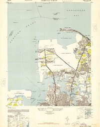
Editions of this 1948 Norfolk North Map
2 editions found
Other maps of this area

1907 · Norfolk
USGS Topo · 1:125,000

1907 · Hampton
USGS Topo · 1:62,500

1918 · Cape Henry
USGS Topo · 1:62,500

1919 · Cape Henry
USGS Topo · 1:62,500

1921 · Newport News
USGS Topo · 1:62,500

1943 · Richmond
USGS Topo · 1:250,000

1944 · Hampton
USGS Topo · 1:24,000

1944 · Morrison
USGS Topo · 1:24,000

1944 · Norfolk South
USGS Topo · 1:25,000

1948 · Norfolk South
USGS Topo · 1:24,000