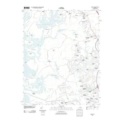
2010 Map of Norge
USGS Topo · Published 2010About this map
Norge and its surrounding communities are defined by a complex landscape of tidal waterways and modern residential expansion. The Chickahominy River winds along the western edge, creating a network of landforms like Wright Island and Shields Point, while the interior is marked by significant water management features including the Little Creek Reservoir and Jolly Pond. This era shows the transition from rural sites like Warren Mill and Claybank Landing to organized residential developments such as Kristiansand and Middle Plantation. Local history is anchored by long-standing institutions like the James City Chapel Cemetery and the Norge Post Office, while the southern portion of the map showcases the extensive grounds of the Fords Colony Golf Course. The map captures the suburbanization of James City County, where new neighborhoods like Seasons Trace sit adjacent to old drainage ways like Colby Swamp.
Find a feature on this map
115 named features on this map. Tap any name to fly to it.
Don’t see what you’re looking for? This feature index may not catch every label — zoom into the map to look around manually.
Map Details
Editions of this 2010 Norge Map
This is the sole edition of this map. No revisions or reprints were ever made.
Other maps of this area

1906 · Williamsburg
USGS Topo · 1:62,500

1907 · Yorktown
USGS Topo · 1:62,500

1917 · Toano
USGS Topo · 1:62,500

1918 · Toano
USGS Topo · 1:62,500

1919 · Surry
USGS Topo · 1:62,500

1943 · Yorktown
USGS Topo · 1:62,500

1943 · Richmond
USGS Topo · 1:250,000

1949 · Richmond
USGS Topo · 1:250,000

1950 · Cobham Bay
USGS Topo · 1:24,000
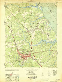
1951 · Williamsburg
USGS Topo · 1:24,000