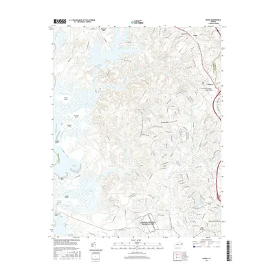
2016 Map of Norge
USGS Topo · Published 2016About this map
The settlement of Norge and the surrounding James City County landscape are defined by a complex network of waterways feeding into the Chickahominy River. Moving inland from the tidal marshes of Bazzard Bay and Nayses Bay, the terrain rises toward the historic corridor of Richmond RD. This survey documents the modern suburban expansion of communities like Lightfoot and Centerville, which contrast with the preserved wooded expanses of the Colonial National Historical Park.
Find a feature on this map
156 named features on this map. Tap any name to fly to it.
Don’t see what you’re looking for? This feature index may not catch every label — zoom into the map to look around manually.
Map Details
Editions of this 2016 Norge Map
This is the sole edition of this map. No revisions or reprints were ever made.
Other maps of this area

1906 · Williamsburg
USGS Topo · 1:62,500

1907 · Yorktown
USGS Topo · 1:62,500

1917 · Toano
USGS Topo · 1:62,500

1918 · Toano
USGS Topo · 1:62,500

1919 · Surry
USGS Topo · 1:62,500

1943 · Yorktown
USGS Topo · 1:62,500

1943 · Richmond
USGS Topo · 1:250,000

1949 · Richmond
USGS Topo · 1:250,000

1950 · Cobham Bay
USGS Topo · 1:24,000
1951 · Williamsburg
USGS Topo · 1:24,000