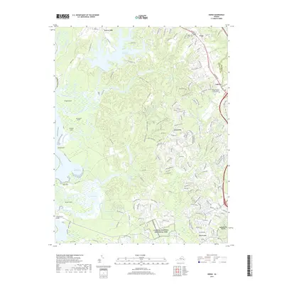
2019 Map of Norge
USGS Topo · Published 2019About this map
Norge and the surrounding James City County landscape are defined by a complex network of coastal inlets and expansive wooded tracts. To the west, the Chickahominy River winds past Wright Island and Simpson Island, forming a labyrinth of marshes and bays such as Buzzard Bay and Nayses Bay. This 2019 survey captures the modern transition of the area from historical milling sites like Warren Mill to contemporary developments. The Little Creek Reservoir serves as a major geographical anchor in the north, while the southern portion of the map is protected by the Colonial National Historical Park. Transportation corridors like Centerville Rd and Monticello Ave link the residential growth near Centerville and Five Forks with institutional landmarks such as the Thomas Nelson Community College - Historic Triangle Campus.
Find a feature on this map
168 named features on this map. Tap any name to fly to it.
Don’t see what you’re looking for? This feature index may not catch every label — zoom into the map to look around manually.
Map Details
Editions of this 2019 Norge Map
This is the sole edition of this map. No revisions or reprints were ever made.
Other maps of this area

1906 · Williamsburg
USGS Topo · 1:62,500

1907 · Yorktown
USGS Topo · 1:62,500

1917 · Toano
USGS Topo · 1:62,500

1918 · Toano
USGS Topo · 1:62,500

1919 · Surry
USGS Topo · 1:62,500

1943 · Yorktown
USGS Topo · 1:62,500

1943 · Richmond
USGS Topo · 1:250,000

1949 · Richmond
USGS Topo · 1:250,000

1950 · Cobham Bay
USGS Topo · 1:24,000
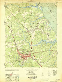
1951 · Williamsburg
USGS Topo · 1:24,000