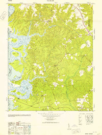
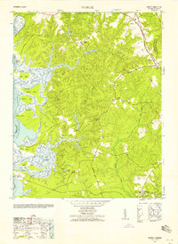
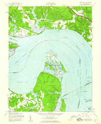
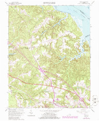
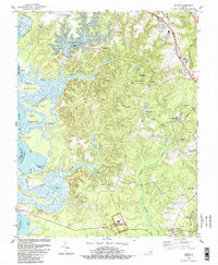
1953 Map of Norge
USGS Topo · Published 1953This historical map portrays the area of Norge in 1953, primarily covering James City County as well as portions of Charles City County and York County. Featuring a scale of 1:24000, this map provides a highly detailed snapshot of the terrain, roads, buildings, counties, and historical landmarks in the Norge region at the time. Published in 1953, it is the sole known edition of this map.
Find a feature on this map
43 named features on this map. Tap any name to fly to it.
Don’t see what you’re looking for? This feature index may not catch every label — zoom into the map to look around manually.
Map Details
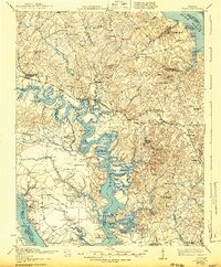
Editions of this 1953 Norge Map
This is the sole edition of this map. No revisions or reprints were ever made.
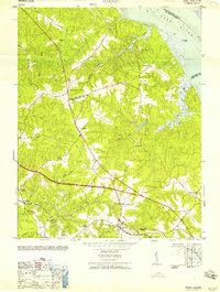
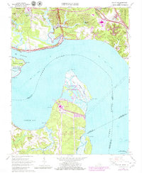
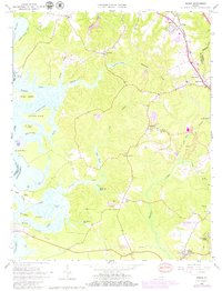
Historical Maps of Claybank Landing Through Time
17 maps found

1917 Toano
James City County, VA
1918 Toano
James City County, VA

1950 Cobham Bay
James City County, VA
1952 Norge
James City County, VA
1953 Norge
James City County, VA
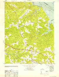
1953 Toano
James City County, VA
1957 Cobham Bay
James City County, VA
1958 Toano
James City County, VA
1965 Hog Island
James City County, VA
1965 Norge
James City County, VA
1965 Toano
James City County, VA
1973 Toano
James City County, VA
1978 Norge
James City County, VA
1984 Hog Island
James City County, VA
1984 Norge
James City County, VA
1994 Norge
James City County, VA
1999 Hog Island
James City County, VA