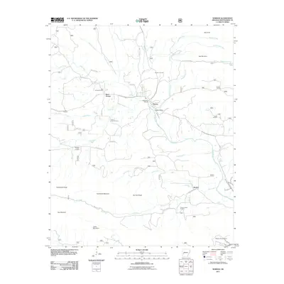
2011 Map of Norman
USGS Topo · Published 2011About this map
The Caddo River flows through the heart of Montgomery County, anchoring the settlements of Norman and Black Springs. This Arkansas landscape is defined by the proximity of small communities to the surrounding peaks, including the Fodderstack Range and the Caddo Mountains. The mapping detail captures a network of rural life, from the residential streets of Smoky Hollow to the Williams Ranch Airport at the southern edge of the survey.
Find a feature on this map
48 named features on this map. Tap any name to fly to it.
Don’t see what you’re looking for? This feature index may not catch every label — zoom into the map to look around manually.
Map Details
Editions of this 2011 Norman Map
This is the sole edition of this map. No revisions or reprints were ever made.
Other maps of this area

1890 · Mount Ida
USGS Topo · 1:125,000

1906 · Caddo Gap
USGS Topo · 1:125,000

1936 · Athens
USGS Topo · 1:48,000

1936 · Glenwood
USGS Topo · 1:48,000

1942 · Glenwood
USGS Topo · 1:62,500

1942 · Athens
USGS Topo · 1:62,500

1949 · Glenwood
USGS Topo · 1:62,500

1955 · Little Rock
USGS Topo · 1:250,000

1956 · Little Rock
USGS Topo · 1:250,000

1959 · Oden
USGS Topo · 1:62,500