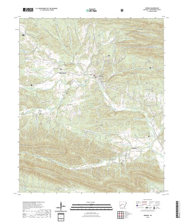
2024 Map of Norman
USGS Topo · Published 2024About this map
Norman and Black Springs anchor this portion of Montgomery County, where the Caddo River winds through the heart of the Ouachita National Forest. The landscape is defined by the sharp ridges of the Crystal Mountains, Caddo Mountains, and the Fodderstack Range, creating a complex network of valleys where small communities and family burial grounds are tucked away. Numerous cemeteries such as Middleton Crooks Cem, Waco School Cem, and Ferguson Cem are scattered across the terrain, marking the locations of early schools and crossroads. The presence of named ranges like the Red Oak Range and peaks such as Wheeler Mtn and Gap Mtn highlights the area's topographic relief. The road network, including Polk Creek Rd and Mill Creek Rd, follows the natural contours carved by waterways like Lick Creek and Mill Creek.
Find a feature on this map
104 named features on this map. Tap any name to fly to it.
Don’t see what you’re looking for? This feature index may not catch every label — zoom into the map to look around manually.
Map Details
Editions of this 2024 Norman Map
This is the sole edition of this map. No revisions or reprints were ever made.
Other maps of this area

1890 · Mount Ida
USGS Topo · 1:125,000

1906 · Caddo Gap
USGS Topo · 1:125,000

1936 · Athens
USGS Topo · 1:48,000

1936 · Glenwood
USGS Topo · 1:48,000

1942 · Glenwood
USGS Topo · 1:62,500

1942 · Athens
USGS Topo · 1:62,500

1949 · Glenwood
USGS Topo · 1:62,500

1955 · Little Rock
USGS Topo · 1:250,000

1956 · Little Rock
USGS Topo · 1:250,000

1959 · Oden
USGS Topo · 1:62,500