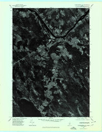
1975 Map of Norridgewock NE
USGS Topo · Published 1980About this map
The Kennebec River flows through the northern reaches of this mid-1970s orthophotoquad, anchoring the settlement of Norridgewock at a strategic bend in the water. This aerial perspective, captured in October 1975, reveals the stark contrast between the dense woodlands of Somerset County and the cleared agricultural plots that line the riverbanks and roads. To the south, the village of Smithfield sits near the shores of North Pond and East Pond, areas where the landscape transitions into a mosaic of wetlands and small clearings. The prominence of Mount Tom provides a central landmark amidst the undulating terrain. Because this is an orthophotograph rather than a standard line map, researchers can observe the actual density of forest cover and the precise layout of farmsteads and rural properties as they existed during this era.
Find a feature on this map
5 named features on this map. Tap any name to fly to it.
Don’t see what you’re looking for? This feature index may not catch every label — zoom into the map to look around manually.
Map Details
Editions of this 1975 Norridgewock NE Map
This is the sole edition of this map. No revisions or reprints were ever made.
Other maps of this area

1892 · Waterville
USGS Topo · 1:62,500

1894 · Norridgewock
USGS Topo · 1:62,500

1898 · Norridgewock
USGS Topo · 1:62,500

1904 · Anson
USGS Topo · 1:62,500

1913 · Skowhegan
USGS Topo · 1:62,500

1943 · Norridgewock
USGS Topo · 1:62,500

1943 · Waterville
USGS Topo · 1:62,500

1948 · Bangor
USGS Topo · 1:250,000

1955 · Anson
USGS Topo · 1:62,500

1955 · Skowhegan
USGS Topo · 1:62,500