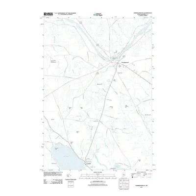
2011 Map of Norridgewock
USGS Topo · Published 2011About this map
The Kennebec River flows through the heart of this Maine landscape, where the settlement of Norridgewock sits at a historic crossing point. The town's layout is anchored by the Norridgewock Bridge and several burial grounds, including the Old Oak Cemetery and Sunset View Cemetery. To the south, the village of Smithfield occupies the narrow land between North Pond and Smith Pond, connected by the winding waterway known as The Serpentine. The local economy and infrastructure are shaped by the water, evidenced by the Mill Stream Dam and East Pond Dam. Significant upland features such as Burrill Hill and The Plains rise above the river valley, while the Central Maine Airport of Norridgewock occupies the flat terrain to the west. This 2011 survey documents a mix of agricultural tradition and modern transport, with numerous family-named hills like McIntrye Hill and Dodling Hill overlooking a network of brooks and streams.
Find a feature on this map
81 named features on this map. Tap any name to fly to it.
Don’t see what you’re looking for? This feature index may not catch every label — zoom into the map to look around manually.
Map Details
Editions of this 2011 Norridgewock Map
This is the sole edition of this map. No revisions or reprints were ever made.
Other maps of this area

1892 · Waterville
USGS Topo · 1:62,500

1894 · Norridgewock
USGS Topo · 1:62,500

1898 · Norridgewock
USGS Topo · 1:62,500

1904 · Anson
USGS Topo · 1:62,500

1913 · Skowhegan
USGS Topo · 1:62,500

1943 · Norridgewock
USGS Topo · 1:62,500

1943 · Waterville
USGS Topo · 1:62,500

1948 · Bangor
USGS Topo · 1:250,000

1955 · Anson
USGS Topo · 1:62,500

1955 · Skowhegan
USGS Topo · 1:62,500