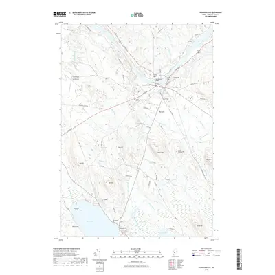
2018 Map of Norridgewock
USGS Topo · Published 2018About this map
Norridgewock centers this landscape where the Kennebec River makes its dramatic southward bend through Bombazee Rips. The settlement pattern follows the river's path and major thoroughfares like Upper Main St, while the surrounding terrain is defined by a series of prominent hills including Sunset Hill, Burrill Hill, and McIntrye Hill. Genealogists will find several burial grounds documented, such as Riverview Cem, Old Oak Cem, and Sunset View Cem near the town center, along with the more remote Gould Cem to the south.
Find a feature on this map
86 named features on this map. Tap any name to fly to it.
Don’t see what you’re looking for? This feature index may not catch every label — zoom into the map to look around manually.
Map Details
Editions of this 2018 Norridgewock Map
This is the sole edition of this map. No revisions or reprints were ever made.
Other maps of this area

1892 · Waterville
USGS Topo · 1:62,500

1894 · Norridgewock
USGS Topo · 1:62,500

1898 · Norridgewock
USGS Topo · 1:62,500

1904 · Anson
USGS Topo · 1:62,500

1913 · Skowhegan
USGS Topo · 1:62,500

1943 · Norridgewock
USGS Topo · 1:62,500

1943 · Waterville
USGS Topo · 1:62,500

1948 · Bangor
USGS Topo · 1:250,000

1955 · Anson
USGS Topo · 1:62,500

1955 · Skowhegan
USGS Topo · 1:62,500