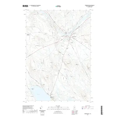
2021 Map of Norridgewock
USGS Topo · Published 2021About this map
The Kennebec River bends sharply through Somerset County, defining the town of Norridgewock as a historic crossing point marked by the Norridgewock Bridge. This landscape is characterized by a series of prominent glacial hills and high points, including Mt Tom, Mt Bett, and Bear Mtn, which overlook a network of water bodies such as North Pond and East Pond. The river's significance to the area's geography is further highlighted by features like the Bombazee Rips and Bombazee Brook.
Find a feature on this map
90 named features on this map. Tap any name to fly to it.
Don’t see what you’re looking for? This feature index may not catch every label — zoom into the map to look around manually.
Map Details
Editions of this 2021 Norridgewock Map
This is the sole edition of this map. No revisions or reprints were ever made.
Other maps of this area

1892 · Waterville
USGS Topo · 1:62,500

1894 · Norridgewock
USGS Topo · 1:62,500

1898 · Norridgewock
USGS Topo · 1:62,500

1904 · Anson
USGS Topo · 1:62,500

1913 · Skowhegan
USGS Topo · 1:62,500

1943 · Norridgewock
USGS Topo · 1:62,500

1943 · Waterville
USGS Topo · 1:62,500

1948 · Bangor
USGS Topo · 1:250,000

1955 · Anson
USGS Topo · 1:62,500

1955 · Skowhegan
USGS Topo · 1:62,500