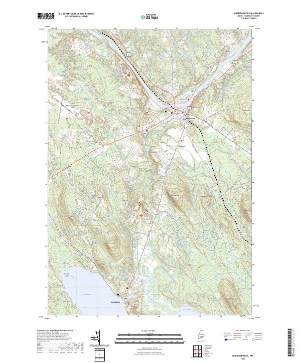
2024 Map of Norridgewock
USGS Topo · Published 2024About this map
The Kennebec River carves a dominant path through this portion of Somerset County, where the historic settlement of Norridgewock sits at a strategic bend. The landscape is defined by the transition from the river valley to the elevated heights of Mt Tom and Dodling Hill, while the southern reaches of the map open into the expansive waters of North Pond near Smithfield. A high concentration of burial sites, including Riverview Cem, Sunset View Cem, and Old Oak Cem, points to generations of local residency and deep-rooted family histories in the river valley.
Find a feature on this map
86 named features on this map. Tap any name to fly to it.
Don’t see what you’re looking for? This feature index may not catch every label — zoom into the map to look around manually.
Map Details
Editions of this 2024 Norridgewock Map
This is the sole edition of this map. No revisions or reprints were ever made.
Other maps of this area

1892 · Waterville
USGS Topo · 1:62,500

1894 · Norridgewock
USGS Topo · 1:62,500

1898 · Norridgewock
USGS Topo · 1:62,500

1904 · Anson
USGS Topo · 1:62,500

1913 · Skowhegan
USGS Topo · 1:62,500

1943 · Norridgewock
USGS Topo · 1:62,500

1943 · Waterville
USGS Topo · 1:62,500

1948 · Bangor
USGS Topo · 1:250,000

1955 · Anson
USGS Topo · 1:62,500

1955 · Skowhegan
USGS Topo · 1:62,500