
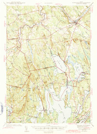
1943 Map of Norridgewock
USGS Topo · Published 1943About this map
The Kennebec River flows through the heart of the region, defining the landscape around Norridgewock during the early 1940s. This survey illustrates a rural Maine economy transitioning from traditional river-based industry to a more recreational and residential character, evidenced by the numerous named ponds and the Norridgewock Rearing Pool. The Maine Central railroad cuts through the terrain, serving towns like North Belgrade Sta and The Plains.
Find a feature on this map
113 named features on this map. Tap any name to fly to it.
Don’t see what you’re looking for? This feature index may not catch every label — zoom into the map to look around manually.
Map Details
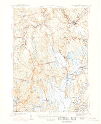
Editions of this 1943 Norridgewock Map
3 editions found
Other maps of this area

1892 · Waterville
USGS Topo · 1:62,500

1892 · Augusta
USGS Topo · 1:62,500

1893 · Vassalboro
USGS Topo · 1:62,500

1894 · Norridgewock
USGS Topo · 1:62,500

1898 · Norridgewock
USGS Topo · 1:62,500

1898 · Vassalboro
USGS Topo · 1:62,500

1904 · Anson
USGS Topo · 1:62,500

1910 · Livermore
USGS Topo · 1:62,500

1912 · Livermore
USGS Topo · 1:62,500

1913 · Skowhegan
USGS Topo · 1:62,500