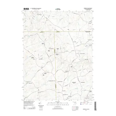
2014 Map of Norrisville
USGS Topo · Published 2014About this map
The Mason-Dixon line defines the landscape across this region where York County, Pennsylvania, meets Baltimore and Harford Counties in Maryland. This boundary separates Stewartstown and New Park in the north from a series of traditional mill-based settlements along the watershed of Deer Creek. The area maintains a rural agricultural character, evidenced by the numerous named valleys and ridges such as Shane Valley and North Green Ridge.
Find a feature on this map
145 named features on this map. Tap any name to fly to it.
Don’t see what you’re looking for? This feature index may not catch every label — zoom into the map to look around manually.
Map Details
Editions of this 2014 Norrisville Map
This is the sole edition of this map. No revisions or reprints were ever made.
Other maps of this area

1900 · Parkton
USGS Topo · 1:62,500

1901 · Belair
USGS Topo · 1:62,500

1902 · Parkton
USGS Topo · 1:62,500

1908 · York
USGS Topo · 1:62,500

1910 · York
USGS Topo · 1:62,500

1912 · Mc Calls Ferry
USGS Topo · 1:62,500

1942 · Bel Air
USGS Topo · 1:62,500

1943 · Mc Calls Ferry
USGS Topo · 1:62,500

1944 · New Freedom
USGS Topo · 1:31,680
1944 · Hereford
USGS Topo · 1:31,680