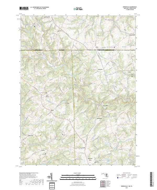
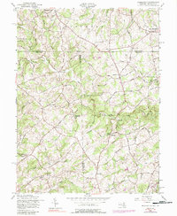
2023 Map of Norrisville
USGS Topo · Published 2023About this map
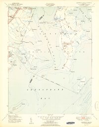
Deer Creek and its many tributaries, including Island Branch and Plumtree Branch, carve through this landscape along the Maryland and Pennsylvania border. The area is defined by a deep-rooted agricultural and milling history, evidenced by the presence of Amos Mill and Ivory Mill. This borderland region between York, Baltimore, and Harford counties maintains a high density of small rural settlements such as Norrisville, Stewartstown, and West Liberty.
Find a feature on this map
137 named features on this map. Tap any name to fly to it.
Don’t see what you’re looking for? This feature index may not catch every label — zoom into the map to look around manually.
Map Details
Editions of this 2023 Norrisville Map
This is the sole edition of this map. No revisions or reprints were ever made.
Historical Maps of Nestling Wind Through Time
14 maps found
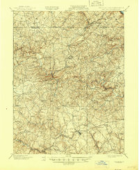
1901 Belair
Harford County, MD
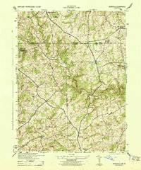
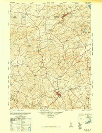
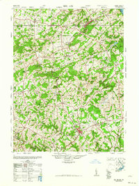
1944 Norrisville
Harford County, MD
1944 Spesutie
Harford County, MD
1948 Belair
Harford County, MD
1948 Spesutie
Harford County, MD
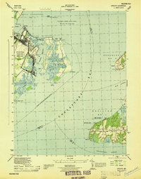
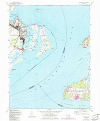
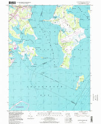
1949 Gunpowder Neck
Harford County, MD
1951 Gunpowder Neck
Harford County, MD
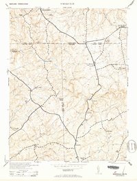
1953 Norrisville
Harford County, MD
1957 Norrisville
Harford County, MD
1963 Belair
Harford County, MD
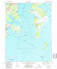
1995 Gunpowder Neck
Harford County, MD
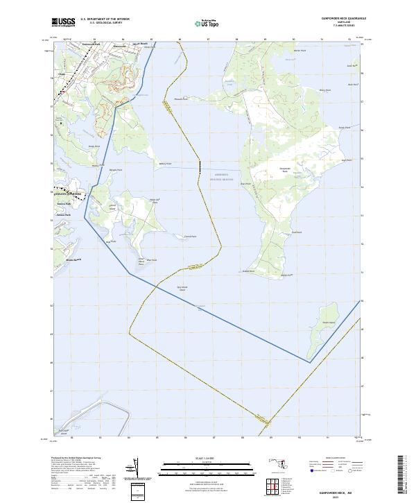
2023 Gunpowder Neck
Harford County, MD
2023 Norrisville
Harford County, MD
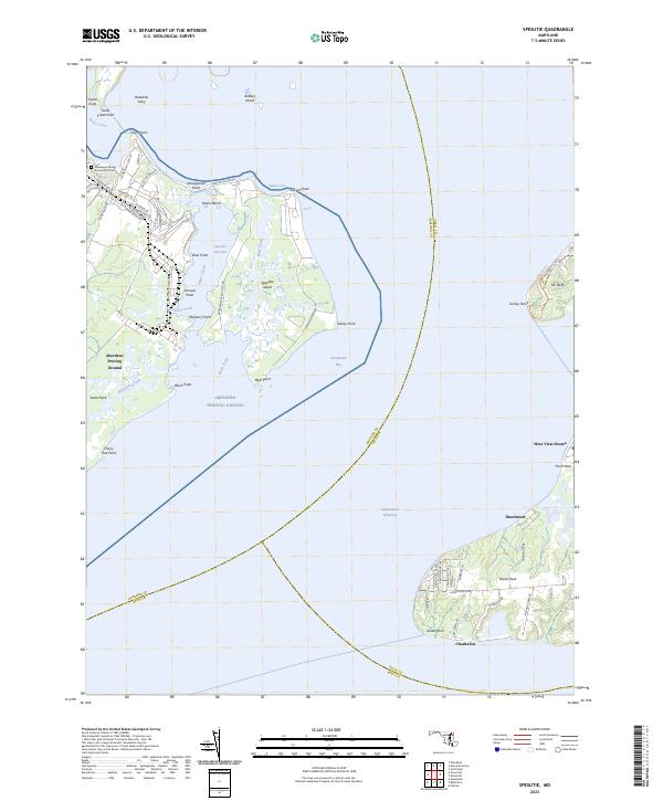
2023 Spesutie
Harford County, MD