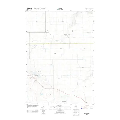
2013 Map of Norseland
USGS Topo · Published 2013About this map
Norseland and the surrounding agricultural landscape of Nicollet County are defined by a meticulous network of drainage and local heritage sites. This early 21st-century survey documents a region where water management is critical to the land's utility, evidenced by a dense system of artificial waterways including Judicial Ditch Number Fourteen, County Ditch Number Eight, and County Ditch Number Seventyfive. These engineered channels supplement natural features like the Middle Br Rush River and Barney Fry Cr. For those tracing local history or family roots, the map provides precise locations for numerous small burial grounds and parish sites, such as the Scandian Grove Cem, Norseland Cem, and the Anderson Family Cem. The small settlement of Rush River sits near the northern boundary, while the central and southern portions are characterized by natural basins like Sand Lake and Annexstad Lake.
Find a feature on this map
44 named features on this map. Tap any name to fly to it.
Don’t see what you’re looking for? This feature index may not catch every label — zoom into the map to look around manually.
Map Details
Editions of this 2013 Norseland Map
This is the sole edition of this map. No revisions or reprints were ever made.
Other maps of this area

1953 · Saint Paul
USGS Topo · 1:250,000

1953 · New Ulm
USGS Topo · 1:250,000

1957 · New Ulm
USGS Topo · 1:250,000

1957 · Belle Plaine
USGS Topo · 1:62,500

1958 · New Ulm
USGS Topo · 1:250,000

1958 · Gaylord
USGS Topo · 1:62,500

1959 · Saint Paul
USGS Topo · 1:250,000

1965 · Norseland
USGS Topo · 1:24,000

1965 · New Sweden
USGS Topo · 1:24,000

1965 · North Star
USGS Topo · 1:24,000