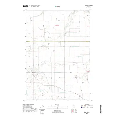
2019 Map of Norseland
USGS Topo · Published 2019About this map
Norseland serves as a local focal point in this agricultural landscape on the border of Nicollet and Sibley counties. The settlement is defined by its cultural anchors, including the Scandian Grove Cem and Norseland Cem, reflecting the area's deep-rooted community history. The surrounding countryside is intricately managed through an extensive network of drainage systems, such as Judicial Ditch Number Fourteen and County Ditch Number Seventyfive, which dictate the productivity of the farmland between the S Br Rush River and Barney Fry Cr. Small family and community landmarks like the Anderson Family Cem and Sauer Cem are scattered across the township grid, providing specific points of interest for those tracing local family lineages. The presence of Sand Lake and Annexstad Lake offer natural breaks in the predominantly rectilinear pattern of county roads and section lines.
Find a feature on this map
64 named features on this map. Tap any name to fly to it.
Don’t see what you’re looking for? This feature index may not catch every label — zoom into the map to look around manually.
Map Details
Editions of this 2019 Norseland Map
This is the sole edition of this map. No revisions or reprints were ever made.
Other maps of this area

1953 · Saint Paul
USGS Topo · 1:250,000

1953 · New Ulm
USGS Topo · 1:250,000

1957 · New Ulm
USGS Topo · 1:250,000

1957 · Belle Plaine
USGS Topo · 1:62,500

1958 · New Ulm
USGS Topo · 1:250,000

1958 · Gaylord
USGS Topo · 1:62,500

1959 · Saint Paul
USGS Topo · 1:250,000

1965 · Norseland
USGS Topo · 1:24,000

1965 · New Sweden
USGS Topo · 1:24,000

1965 · North Star
USGS Topo · 1:24,000