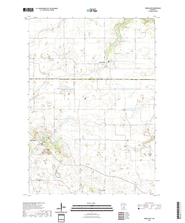
2022 Map of Norseland
USGS Topo · Published 2022About this map
Norseland and the surrounding township lands of Sibley Co and Nicollet Co are defined by a complex network of agricultural drainage and natural waterways. This modern survey illustrates the persistent rural character of the region, where the Middle Br Rush River and S Br Rush River provide natural drainage alongside an extensive system of engineered watercourses, including County Ditch Number Seventyone and Judicial Ditch Number Fourteen. These ditches represent generations of land management required to sustain the local farming economy.
Find a feature on this map
60 named features on this map. Tap any name to fly to it.
Don’t see what you’re looking for? This feature index may not catch every label — zoom into the map to look around manually.
Map Details
Editions of this 2022 Norseland Map
This is the sole edition of this map. No revisions or reprints were ever made.
Other maps of this area

1953 · Saint Paul
USGS Topo · 1:250,000

1953 · New Ulm
USGS Topo · 1:250,000

1957 · New Ulm
USGS Topo · 1:250,000

1957 · Belle Plaine
USGS Topo · 1:62,500

1958 · New Ulm
USGS Topo · 1:250,000

1958 · Gaylord
USGS Topo · 1:62,500

1959 · Saint Paul
USGS Topo · 1:250,000

1965 · Norseland
USGS Topo · 1:24,000

1965 · New Sweden
USGS Topo · 1:24,000

1965 · North Star
USGS Topo · 1:24,000