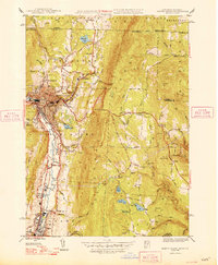
1948 Map of North Adams
USGS Topo · Published 1948About this map
North Adams and Adams anchor this industrial and mountain corridor during the post-war era, where the Hoosic River valley dictates the placement of mills and rail lines. The engineering feat of the Hoosac Tunnel is evidenced by the Central Shaft and auxiliary shafts cutting through the high ridges of Florida, marking the critical Boston and Maine railroad route. Outside the urban centers, small rural settlements like Briggsville and Houghtonville are visible, alongside scattered landmarks such as the Natural Bridge and Bishop Sch. The landscape is a mix of protected wilderness within the Green Mountain National Forest and local water management features like Windsor Lake and the Upper Reservoir. Local history is preserved through the locations of the Burnett Cem and New State Cem, providing essential points of reference for genealogical research in this Berkshire County region.
Find a feature on this map
68 named features on this map. Tap any name to fly to it.
Don’t see what you’re looking for? This feature index may not catch every label — zoom into the map to look around manually.
Map Details
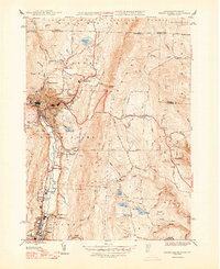
Editions of this 1948 North Adams Map
2 editions found
Other maps of this area

1886 · Greylock
USGS Topo · 1:62,500

1886 · Hawley
USGS Topo · 1:62,500

1889 · Wilmington
USGS Topo · 1:62,500

1890 · Hawley
USGS Topo · 1:62,500

1891 · Wilmington
USGS Topo · 1:62,500

1891 · Greylock
USGS Topo · 1:62,500

1893 · Greylock
USGS Topo · 1:62,500

1894 · Hawley
USGS Topo · 1:62,500

1898 · Bennington
USGS Topo · 1:62,500

1898 · Greylock
USGS Topo · 1:62,500