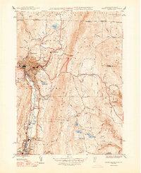
1948 Map of North Adams
USGS Topo · Published 1948About this map
The Hoosac Tunnel serves as a defining engineering feature of this 1940s landscape, passing deep beneath the mountain range to connect the Hoosic River valley with the eastern territories. Industrial and residential centers like North Adams, Adams, and Zylonite are shown at a peak of rail-dependent development along the Boston and Maine railroad corridor. The surrounding hillsides are dotted with rural markers, from the Bishop Sch in the north to the Phillips Ch and Southview Cem near the urban center.
Find a feature on this map
74 named features on this map. Tap any name to fly to it.
Don’t see what you’re looking for? This feature index may not catch every label — zoom into the map to look around manually.
Map Details
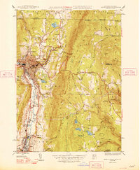
Editions of this 1948 North Adams Map
2 editions found
Other maps of this area

1886 · Greylock
USGS Topo · 1:62,500

1886 · Hawley
USGS Topo · 1:62,500

1889 · Wilmington
USGS Topo · 1:62,500

1890 · Hawley
USGS Topo · 1:62,500

1891 · Wilmington
USGS Topo · 1:62,500

1891 · Greylock
USGS Topo · 1:62,500

1893 · Greylock
USGS Topo · 1:62,500

1894 · Hawley
USGS Topo · 1:62,500

1898 · Bennington
USGS Topo · 1:62,500

1898 · Greylock
USGS Topo · 1:62,500