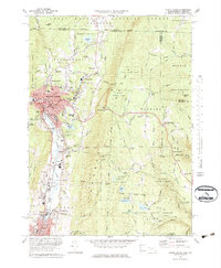
1973 Map of North Adams
USGS Topo · Published 1984About this map
North Adams and the industrial corridor of the Hoosic River anchor this topographic study, reflecting the region's development during the early 1970s. The dense urban center, including prominent landmarks like City Hall and the Armory, transitions sharply into the surrounding mountainous terrain of the Green Mountain National Forest and Savoy Mountain State Forest. This period captures the rail infrastructure of the Penn Central and Boston and Maine lines as they navigate the steep grades of the Hoosac Range, including the path of the famous Hoosac Tunnel west of West Summit.
Find a feature on this map
96 named features on this map. Tap any name to fly to it.
Don’t see what you’re looking for? This feature index may not catch every label — zoom into the map to look around manually.
Map Details
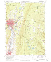
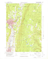
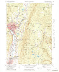
Editions of this 1973 North Adams Map
4 editions found
Other maps of this area

1886 · Greylock
USGS Topo · 1:62,500

1886 · Hawley
USGS Topo · 1:62,500

1889 · Wilmington
USGS Topo · 1:62,500

1890 · Hawley
USGS Topo · 1:62,500

1891 · Wilmington
USGS Topo · 1:62,500

1891 · Greylock
USGS Topo · 1:62,500

1893 · Greylock
USGS Topo · 1:62,500

1894 · Hawley
USGS Topo · 1:62,500

1898 · Bennington
USGS Topo · 1:62,500

1898 · Greylock
USGS Topo · 1:62,500