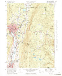
1973 Map of North Adams
USGS Topo · Published 1978About this map
North Adams and the Hoosic River valley serve as the industrial and cultural heart of this Northern Berkshire survey. The urban core is densely marked with civic institutions, including the Drury High School and McCann Technical School, alongside several prominent religious sites such as St Josephs Cemetery and Beth Israel Cemetery. The geography of the city is defined by its steep surroundings, with Witts Ledge overlooking the valley and the Penn Central rail lines connecting the industrial district at Zylonite and Renfrew to the north.
Find a feature on this map
102 named features on this map. Tap any name to fly to it.
Don’t see what you’re looking for? This feature index may not catch every label — zoom into the map to look around manually.
Map Details
Editions of this 1973 North Adams Map
4 editions found
Other maps of this area

1886 · Greylock
USGS Topo · 1:62,500

1886 · Hawley
USGS Topo · 1:62,500

1889 · Wilmington
USGS Topo · 1:62,500

1890 · Hawley
USGS Topo · 1:62,500

1891 · Wilmington
USGS Topo · 1:62,500

1891 · Greylock
USGS Topo · 1:62,500

1893 · Greylock
USGS Topo · 1:62,500

1894 · Hawley
USGS Topo · 1:62,500

1898 · Bennington
USGS Topo · 1:62,500

1898 · Greylock
USGS Topo · 1:62,500