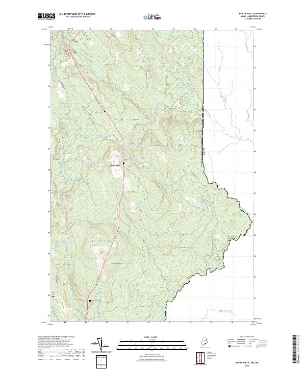
2024 Map of North Amity
USGS Topo · Published 2024About this map
North Amity and the small settlement of Cary anchor this landscape along the eastern border of Aroostook County. This area is characterized by a dense network of watercourses and wetlands, including Anderson Bog and several namesake streams such as Davis Brook and Durrell Brook. The terrain transitions from the elevations of Spring Hill and Pole Hill down toward the international boundary, where Monument Brook serves as a natural demarcation between the United States and Canada.
Find a feature on this map
47 named features on this map. Tap any name to fly to it.
Don’t see what you’re looking for? This feature index may not catch every label — zoom into the map to look around manually.
Map Details
Editions of this 2024 North Amity Map
This is the sole edition of this map. No revisions or reprints were ever made.
Other maps of this area

1938 · Houlton
USGS Topo · 1:62,500

1940 · Amity
USGS Topo · 1:62,500

1941 · Amity
USGS Topo · 1:62,500

1943 · Amity
USGS Topo · 1:62,500

1951 · Houlton
USGS Topo · 1:62,500

1957 · Fredericton
USGS Topo · 1:250,000
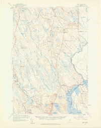
1958 · Amity
USGS Topo · 1:62,500

1959 · Woodstock
USGS Topo · 1:250,000

1963 · Woodstock
USGS Topo · 1:250,000

1963 · Fredericton
USGS Topo · 1:250,000