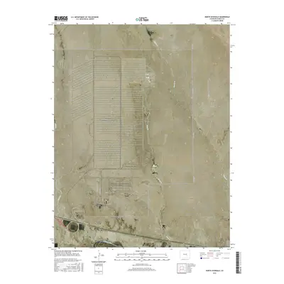
2016 Map of North Avondale
USGS Topo · Published 2016About this map
The Arkansas River forms the southern boundary of this high plains landscape, anchoring the settlements of North Avondale and Boone. The map reveals a highly structured grid of secondary roads and industrial arteries, such as 1st Arterial Rd W, Ordnance Ln, and Plant Rd, which define a vast geometric complex in the central and northern sections. This irrigation and industrial footprint stands in contrast to the natural winding paths of Chico Cr and Boone Cr as they drain toward the river valley.
Find a feature on this map
29 named features on this map. Tap any name to fly to it.
Don’t see what you’re looking for? This feature index may not catch every label — zoom into the map to look around manually.
Map Details
Editions of this 2016 North Avondale Map
This is the sole edition of this map. No revisions or reprints were ever made.
Other maps of this area

1891 · Nepesta
USGS Topo · 1:125,000

1893 · Nepesta
USGS Topo · 1:125,000

1904 · Nepesta
USGS Topo · 1:125,000

1954 · Pueblo
USGS Topo · 1:250,000

1957 · Pueblo
USGS Topo · 1:250,000

1958 · Pueblo
USGS Topo · 1:250,000

1959 · Highlands Church
USGS Topo · 1:24,000

1959 · North Avondale NE
USGS Topo · 1:24,000
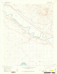
1960 · Nepesta
USGS Topo · 1:24,000
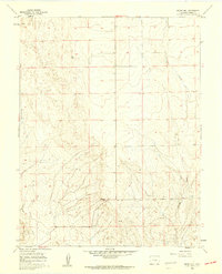
1960 · Boone Hill
USGS Topo · 1:24,000