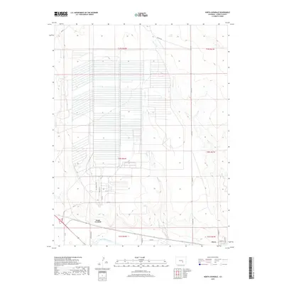
2019 Map of North Avondale
USGS Topo · Published 2019About this map
The Arkansas River flows along the southern edge of this landscape, marking the primary water source for a region defined by its intensive irrigation and agricultural development. The gridded network of fields dominates the central plains of Pueblo County, serviced by a complex infrastructure of roads such as Avondale Blvd and Plant Rd. The settlement of North Avondale is positioned just north of the river, while the community of Boone lies further east along the highway corridor. Several intermittent waterways, including Haynes Cr, Boone Cr, and Chico Cr, cut through the terrain, illustrating the drainage patterns that feed into the Arkansas valley. The layout of the roads and the precise division of the land reflect the area's ongoing agricultural significance and its organized rural development near the turn of the 21st century.
Find a feature on this map
27 named features on this map. Tap any name to fly to it.
Don’t see what you’re looking for? This feature index may not catch every label — zoom into the map to look around manually.
Map Details
Editions of this 2019 North Avondale Map
This is the sole edition of this map. No revisions or reprints were ever made.
Other maps of this area

1891 · Nepesta
USGS Topo · 1:125,000

1893 · Nepesta
USGS Topo · 1:125,000

1904 · Nepesta
USGS Topo · 1:125,000

1954 · Pueblo
USGS Topo · 1:250,000

1957 · Pueblo
USGS Topo · 1:250,000

1958 · Pueblo
USGS Topo · 1:250,000

1959 · Highlands Church
USGS Topo · 1:24,000

1959 · North Avondale NE
USGS Topo · 1:24,000
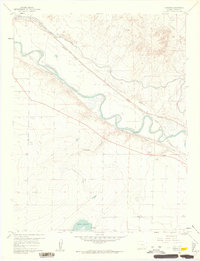
1960 · Nepesta
USGS Topo · 1:24,000
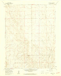
1960 · Boone Hill
USGS Topo · 1:24,000