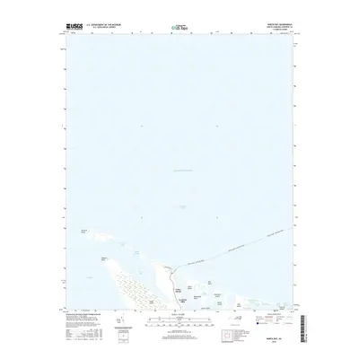
2016 Map of North Bay
USGS Topo · Published 2016About this map
Cedar Island serves as the terminal point for coastal travel in this 2016 survey of the Carteret County shoreline. The maritime landscape is defined by the Cedar Island - Ocracoke Ferry route, which navigates the transition between West Bay and the open Pamlico Sound. The topography is a complex network of marshlands and shifting sands, featuring elevated areas like the Goodwin Hills and named coastal landmarks such as Raymond Sand and Sandy Landing. To the south and east, a chain of islands and marshes including Ship Shoal Island, Hog Island, and Hunting Island separate the inner bays from the broader Atlantic Ocean. Local water features like Snake Gut, Fullers Ditch, and Deep Slough reveal the intricate hydrology of this low-lying coastal environment, where terrestrial points such as Waterbush Point and Ship Point barely rise above the surrounding wetlands.
Find a feature on this map
29 named features on this map. Tap any name to fly to it.
Don’t see what you’re looking for? This feature index may not catch every label — zoom into the map to look around manually.
Map Details
Editions of this 2016 North Bay Map
This is the sole edition of this map. No revisions or reprints were ever made.
Other maps of this area

1948 · North Bay
USGS Topo · 1:24,000

1949 · Atlantic
USGS Topo · 1:24,000

1949 · Point Of Marsh
USGS Topo · 1:24,000

1949 · Long Bay
USGS Topo · 1:24,000

1950 · Long Bay
USGS Topo · 1:24,000

1950 · North Bay
USGS Topo · 1:24,000

1950 · Point Of Marsh
USGS Topo · 1:24,000
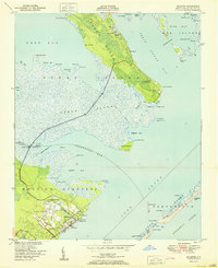
1951 · Atlantic
USGS Topo · 1:24,000

1951 · Brant Island
USGS Topo · 1:24,000

1953 · Rocky Mount
USGS Topo · 1:250,000