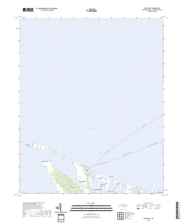
2022 Map of North Bay
USGS Topo · Published 2022About this map
Cedar Island and its surrounding wetlands form the core of this coastal landscape along the edge of Pamlico Sound. This area represents a vital marine connection for North Carolina, characterized by the Cedar Island - Ocracoke Ferry route and the associated Vehicle Ferry Trl that navigates the shallow waters of North Bay. The geography is defined by low-lying maritime features like Goodwin Hills and Ship Point, where the land fragments into a complex network of marshes and tidal channels such as Snake Gut and Deep Slough. Small elevations and landings like Sandy Landing and Raymond Sand provide rare points of relief in a terrain dominated by West Bay and the salt marshes of Beach Marsh. The presence of named maritime landmarks like Waterbush Point and Ship Shoal Island highlights the traditional navigation and fishing history of this outer coastal region.
Find a feature on this map
28 named features on this map. Tap any name to fly to it.
Don’t see what you’re looking for? This feature index may not catch every label — zoom into the map to look around manually.
Map Details
Editions of this 2022 North Bay Map
This is the sole edition of this map. No revisions or reprints were ever made.
Other maps of this area

1948 · North Bay
USGS Topo · 1:24,000

1949 · Atlantic
USGS Topo · 1:24,000

1949 · Point Of Marsh
USGS Topo · 1:24,000

1949 · Long Bay
USGS Topo · 1:24,000

1950 · Long Bay
USGS Topo · 1:24,000

1950 · North Bay
USGS Topo · 1:24,000

1950 · Point Of Marsh
USGS Topo · 1:24,000
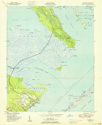
1951 · Atlantic
USGS Topo · 1:24,000

1951 · Brant Island
USGS Topo · 1:24,000

1953 · Rocky Mount
USGS Topo · 1:250,000