2022 Map of North Bend
USGS Topo · Published 2022About this map
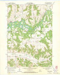
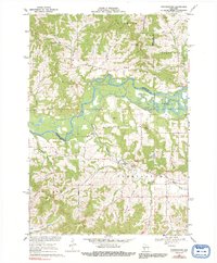
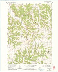
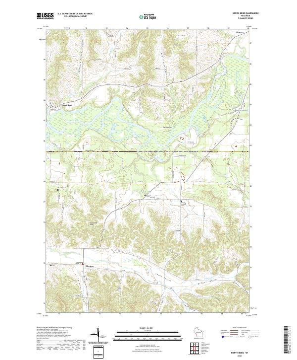
The Black River carves a winding path across this portion of the Wisconsin landscape, defining the transition between the rolling uplands and the river valley. To the south, the village of Mindoro sits at the head of several distinctive coulees, including Sullivan Coulee and Severson Coulee, which characterize the region's unique topography. Further north, the settlement of North Bend is positioned near the confluence of Mill Cr and the river, surrounded by significant landforms like Maiden Rock.
Find a feature on this map
72 named features on this map. Tap any name to fly to it.
Don’t see what you’re looking for? This feature index may not catch every label — zoom into the map to look around manually.
Map Details
Editions of this 2022 North Bend Map
This is the sole edition of this map. No revisions or reprints were ever made.
Historical Maps of Jackson County Through Time
8 maps found