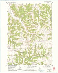
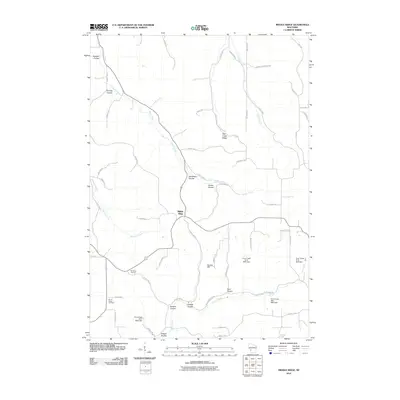
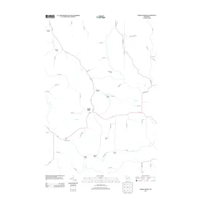
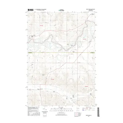
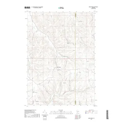
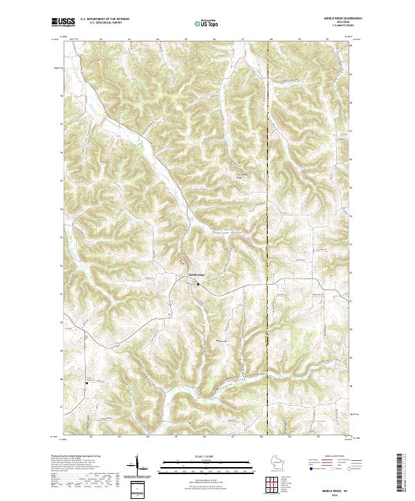
1983 Map of Middle Ridge
USGS Topo · Published 1984About this map
The unincorporated settlements of Middle Ridge and Newberg Corners anchor this landscape, where the deeply dissected Coulee Region of Wisconsin meets the borders of La Crosse and Monroe counties. Situated in the town of Washington, the area is defined by a dense network of branching valleys, including Dutch Creek, Bouska Ridge, and Bostwick Creek. These narrow coulees historically dictated the path of travel and farming, with ridge-top communities like Middle Ridge serving as social centers for the surrounding dairy farms and valley growers.
Find a feature on this map
43 named features on this map. Tap any name to fly to it.
Don’t see what you’re looking for? This feature index may not catch every label — zoom into the map to look around manually.
Map Details
Editions of this 1983 Middle Ridge Map
This is the sole edition of this map. No revisions or reprints were ever made.
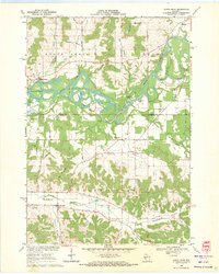
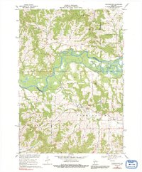
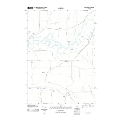
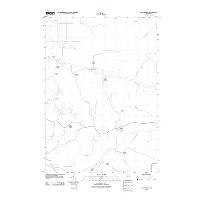
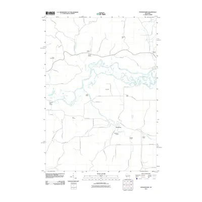
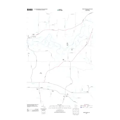
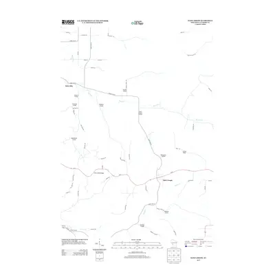
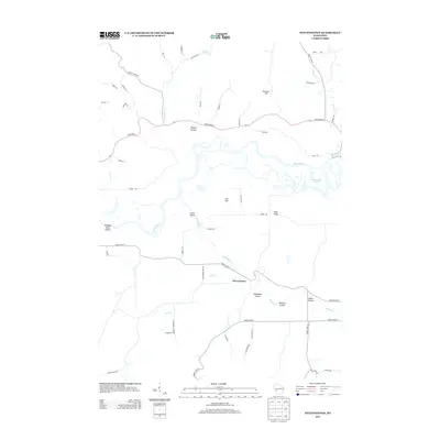
Historical Maps of Leon Through Time
24 maps found
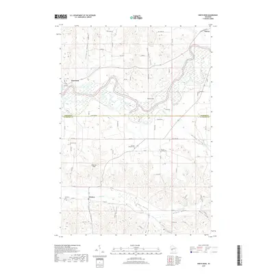
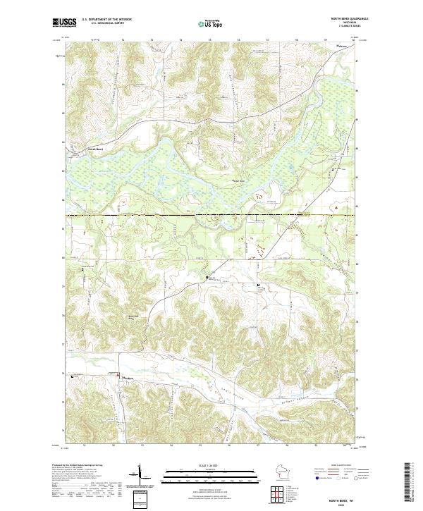
1969 North Bend
La Crosse County, WI
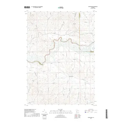
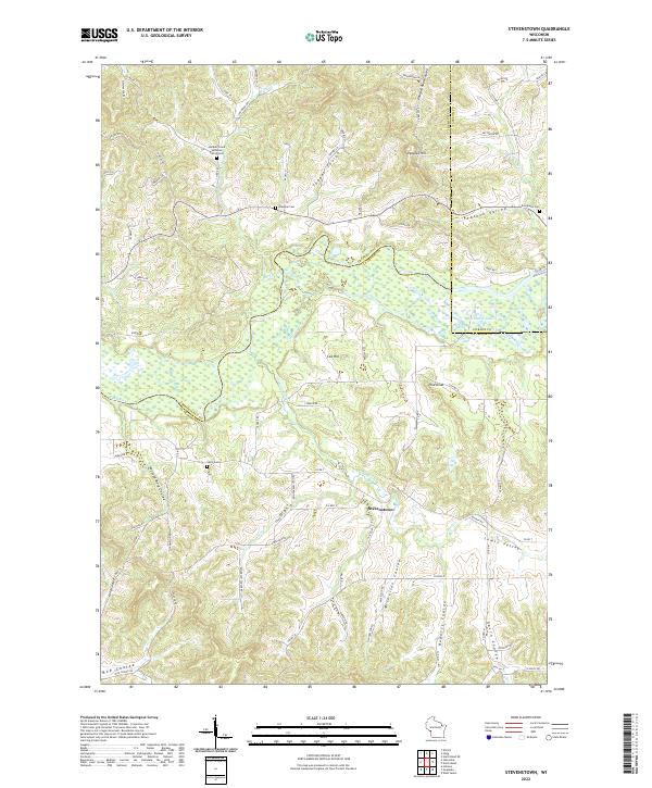
1969 Stevenstown
La Crosse County, WI
1976 Sparta NW
La Crosse County, WI
1983 Middle Ridge
La Crosse County, WI
2010 Middle Ridge
La Crosse County, WI
2010 North Bend
La Crosse County, WI
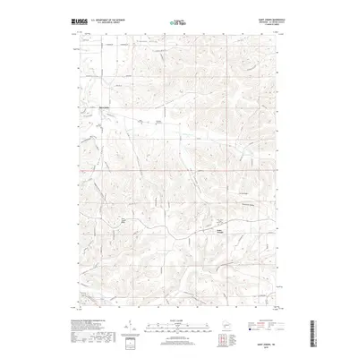
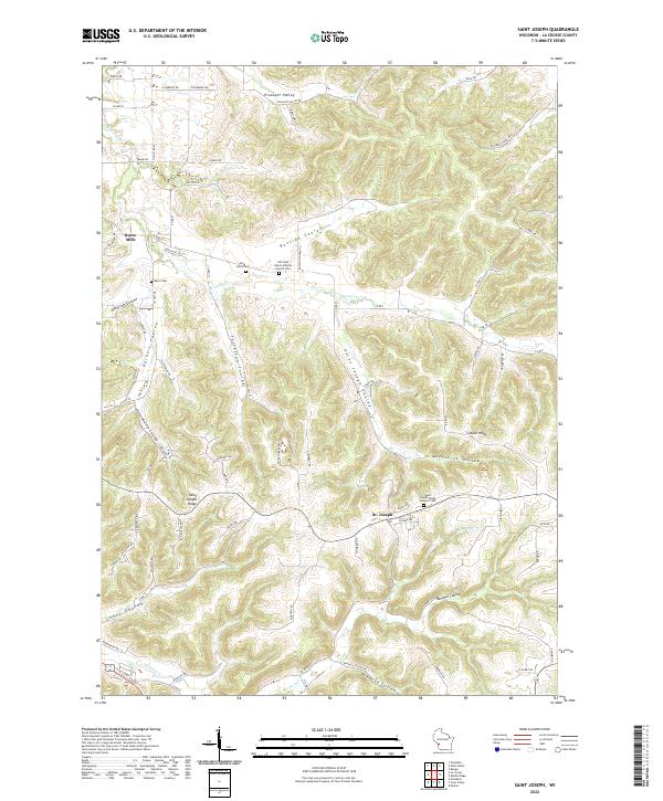
2010 Saint Joseph
La Crosse County, WI
2010 Stevenstown
La Crosse County, WI
2013 Middle Ridge
La Crosse County, WI
2013 North Bend
La Crosse County, WI
2013 Saint Joseph
La Crosse County, WI
2013 Stevenstown
La Crosse County, WI
2015 North Bend
La Crosse County, WI
2015 Saint Joseph
La Crosse County, WI
2015 Stevenstown
La Crosse County, WI
2016 Middle Ridge
La Crosse County, WI
2018 Middle Ridge
La Crosse County, WI
2018 North Bend
La Crosse County, WI
2018 Saint Joseph
La Crosse County, WI
2018 Stevenstown
La Crosse County, WI
2022 Middle Ridge
La Crosse County, WI
2022 North Bend
La Crosse County, WI
2022 Saint Joseph
La Crosse County, WI
2022 Stevenstown
La Crosse County, WI